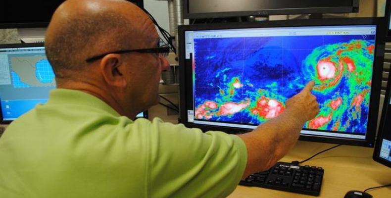
Havana, August 24 (RHC)-- A budding tropical disturbance has the potential to strengthen significantly and reach Florida over the weekend with strong winds, coastal flooding and torrential rainfall.
The disturbance, dubbed 99L, has the potential to become Tropical Depression Eight and Tropical Storm Hermine late this week.
The system is expected to take a general west to west-northwest path near Puerto Rico on Wednesday night and near Hispaniola on Thursday. But it has the potential to become very well-organized southeast of Florida over the weekend.
Meteorologists say rapid strengthening is possible if the system stays off the coast of Cuba this weekend, but that strengthening could be delayed if it takes a land course over Cuba.
They say the intensity of the squalls, winds and seas will depend on how quickly the system strengthens along its path, but that regardless of the strength, gusty showers, thunderstorms and rough seas will spread westward.
They warn also that seas could become very dangerous, especially for small craft from the northeastern coast of Cuba through much of the Bahamas during Friday, Saturday and Sunday.
If the storm enters the Gulf of Mexico, meteorologists say a landfall as a hurricane along the upper Gulf coast of the U.S. would be a possibility by mid next week.


